21 Jul 2026
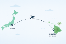
A practical travel guide for Japanese visitors planning a holiday escape to Hawaii's Kohala Coast, covering flights, airports, transportation, accommodations, and tips for making the most of your Big Island stay.
A practical travel guide for Japanese visitors planning a holiday escape to Hawaii's Kohala Coast, covering flights, airports, transportation, accommodations, and tips for making the most of your Big Island stay.
A complete planning guide for couples considering a Hawaii destination wedding on the Kohala Coast, covering venues, vendors, accommodations, and how to make the most of a full wedding weekend on the Big Island.
The Kohala Coast on Hawaiʻi Island is known for its stunning beaches, luxury resorts, and unforgettable sunsets - but the dining scene deserves just as much attention. If you’re searching for the best restaurants on the Big Island of Hawaii, this guide highlights...
A practical guide to the best family-friendly beaches on the Kohala Coast, with tips on parking, shade, facilities, and kid-safe swimming spots. Start planning today!
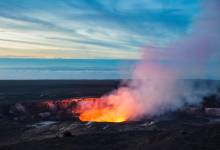
A scenic day trip from the Kohala Coast to Hawaiʻi Volcanoes National Park with the best route, timing, stops, and where to stay for a seamless Big Island adventure.